
Caption
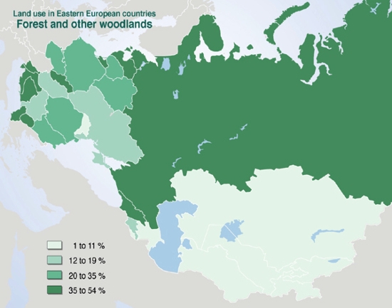
Land Use in Eastern European Countries, Forest and other Woodlands, 2000
Summary
This map shows the extent to which land is used in Eastern Europe, especially the woodland and forest areas.
Source
United Nations Environment Programme / GRID-Arendal[1]
Cartographer/Designer: Philippe Rekacewicz, UNEP/GRID-Arendal
Copyright
© 2006 UNEP / GRID-Arendal
Licensing
For use constraints, see [2].
Series
This map is one in a series For a listing with flyovers, see Series:UNEP / GRID-Arendal.