
Caption
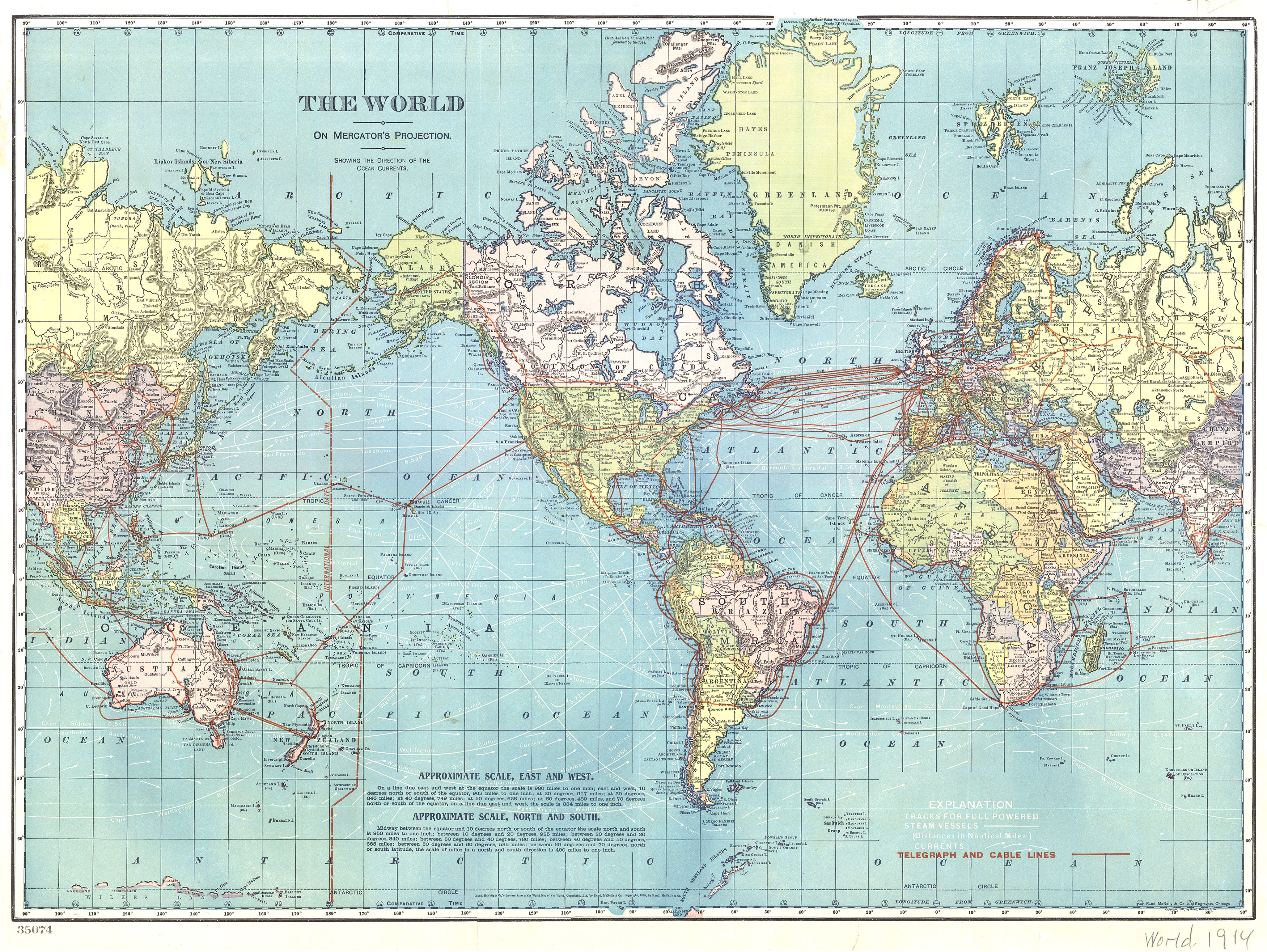
The World – Telegraph and Cable Lines
Summary
World map shows Telegraph and Cable Lines, in addition to tracks for full powered steam vessels (with distance in nautical miles), and ocean currents. Information on the approximate scales, east and west, as well as north and south is also provided. Map is based on Mercator’s projection.
Source
Indexed Atlas of the World Map of the World.
Copyright
Out of copyright. Originally © Rand, McNally & Co., 1891 and 1895