
Caption
Trade Routes and Empires, 1500
Summary
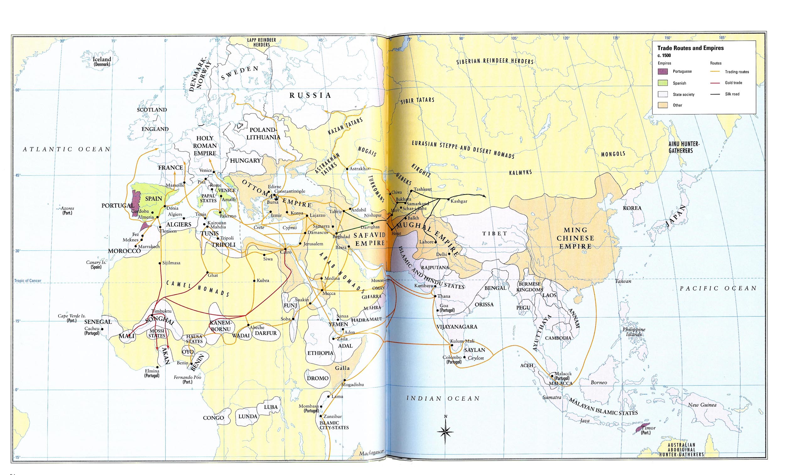
This map shows the trade routes between the Asian, African, and European continents circa 1500. Routes for general trade, gold trade and the Silk Road are all indicated. Regions are color-coded to indicate whether they are under control of the Spanish, the Portuguese, an independent state society, or another imperial power.
Source
Historical Atlas of the Islamic World (p. 55)
Copyright
Copyright © Oxford University Press, 2004
License
This map is used on this website by permission of Oxford University Press.
The license only allows it to be used in connection with SOC284 and WWS572B at Princeton University during the 2008-9 academic year.
The map appears in Malise Ruthven and Azim Nanji, Historical Atlas of the Islamic World (Oxford University Press, 2004).