
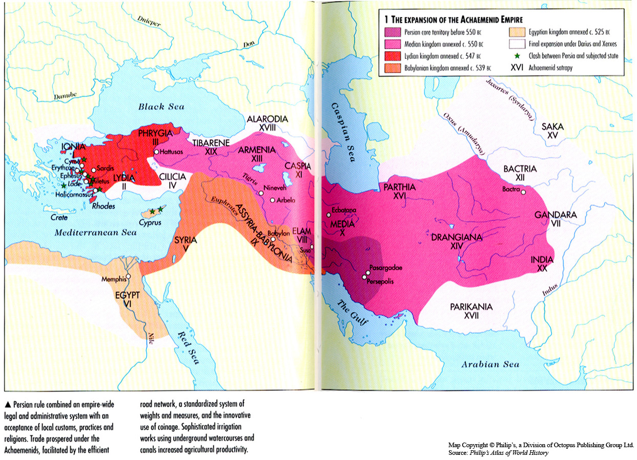
Caption
The Expansion of the Achaemenid Empire
Summary
This map shows the expansion of the Achaemenid Empire into territories around Mideast and western Asia from 550 BCE to 525 BCE.
- Persian core territory
- Median kingdom
- Lydian kingdom
- Babylonian kingdom
- Egyptian kingdom
- Final expansion under Darius and Xerxes
Source
Oxford Atlas of World History, Oxford University Press, 1999. General Editor Patrick K. O’Brien. (pp. 42-43).
Copyright
Map copyright © Philip’s, a division of Octopus Publishing Group Ltd.
Source: Philip’s Atlas of World History
Used under license from Octopus Publishing Group.
Series
This map is one in a series of maps selected from the Oxford Atlas of World History.
A gallery using flyover images like this