
Caption
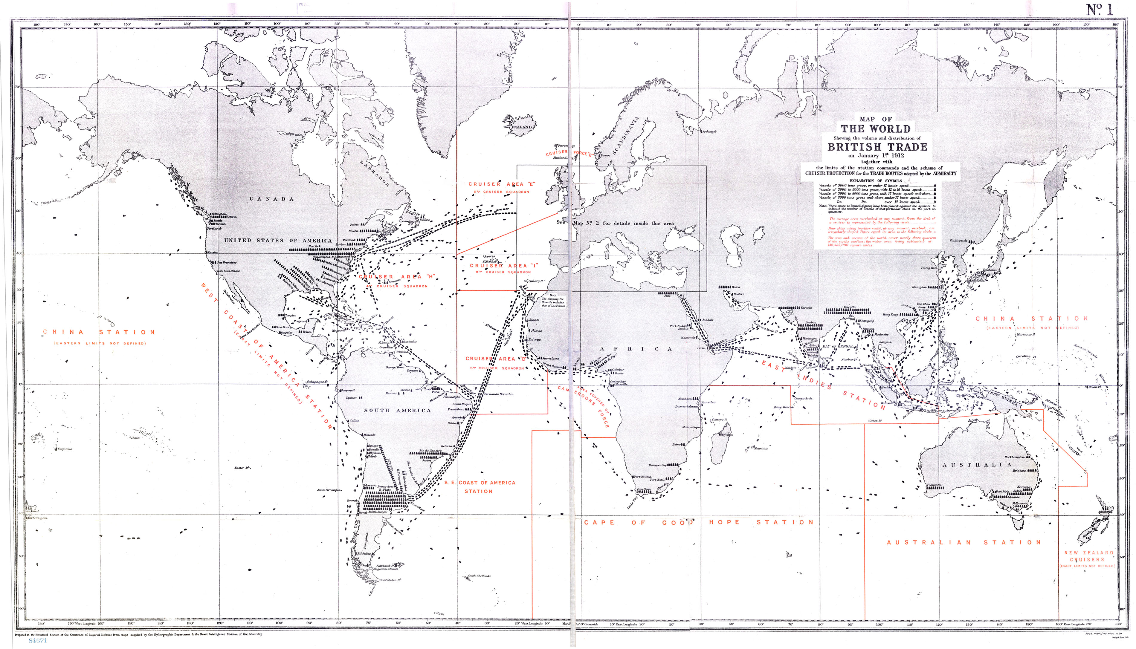
Map of the World Showing the Volume and Distribution of British Trade, 1912
Summary
World map shows the volume and distribution of British trade routes, as indicated by different vessel sizes. The limits of the station commands and the scheme of cruiser protection for the trade routes are additionally provided.
“Prepared in the Historical Section of the Committee of Imperial Defence from maps supplied by the Hydrographic Department & the naval Intelligence Division of the Admiralty.”
Copyright
Out of copyright. Copyright holder was apparently Mally & Sons Ltd.