

Caption
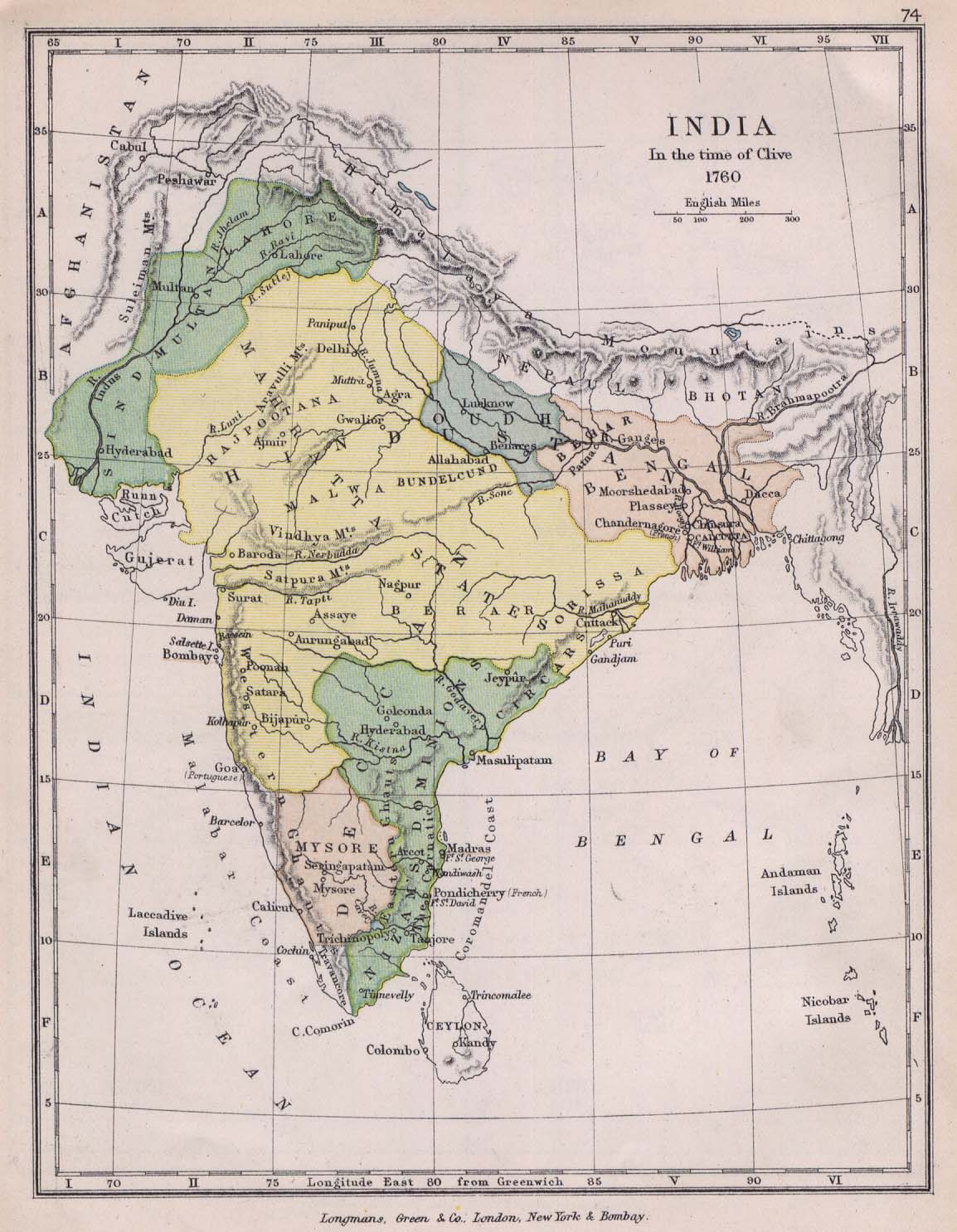
India in the time of Clive, 1760
Summary
This map shows the various political divisions in India in the middle of the 18th century. Longmans, Green & Co.
Source
Perry-Castañeda Library Map Collection (map)
The Public Schools Historical Atlas edited by C. Colbeck. Longmans, Green, and Co. 1905
Copyright
This work is believed to be in the public domain because its copyright is believed to have expired.