
Caption
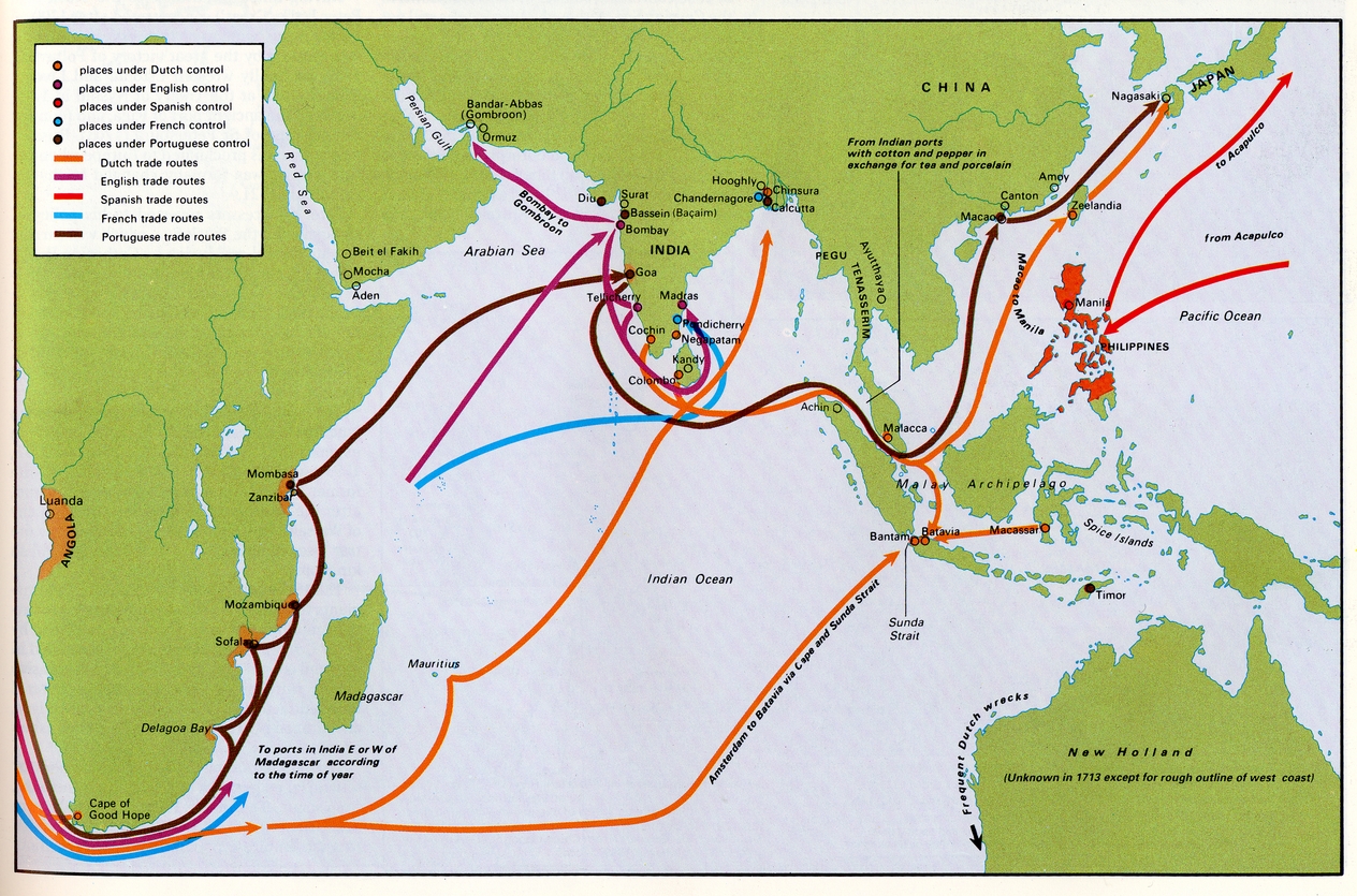
Colonial Trade in Asia and Africa in the Early 18th Century
Summary
This map shows Dutch, English, Spanish, French, and Portuguese colonial areas and European trade routes between them in the early 1700s.
Source
Geoffrey Barraclough. Times Atlas of World History (p. 157).
Times Books Division of Harper Collins Publishers, London. 4th edition, 1993.
GIS Library. Scanned at 400dpi, digitized at 300dpi.
Copyright
Geoffrey Barraclough.
This is a copyrighted work. Its use on QED is under the “Fair Use” rule.