
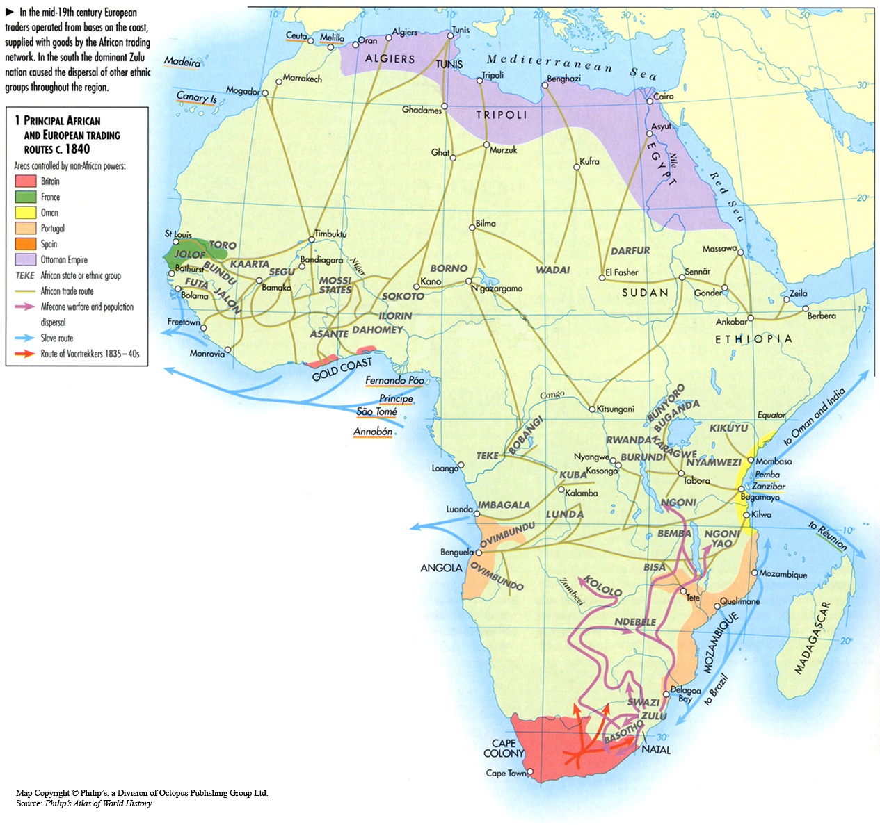
Caption
Principal African and European Trading Routes c. 1840
Summary
This map shows the major trading routes used in Africa in 1840.
Source
‘Oxford Atlas of World History, Oxford University Press, 1999. General Editor Patrick K. O’Brien. (p. 204)
Copyright
Map copyright © Philip’s, a division of Octopus Publishing Group Ltd.
Source: Philip’s Atlas of World History
Used under license from Octopus Publishing Group.
Series
This map is one in a series of maps selected from the Oxford Atlas of World History.
A gallery using flyover images like this