
Caption
Improvement of the International Network – State at the end of 1958
Summary
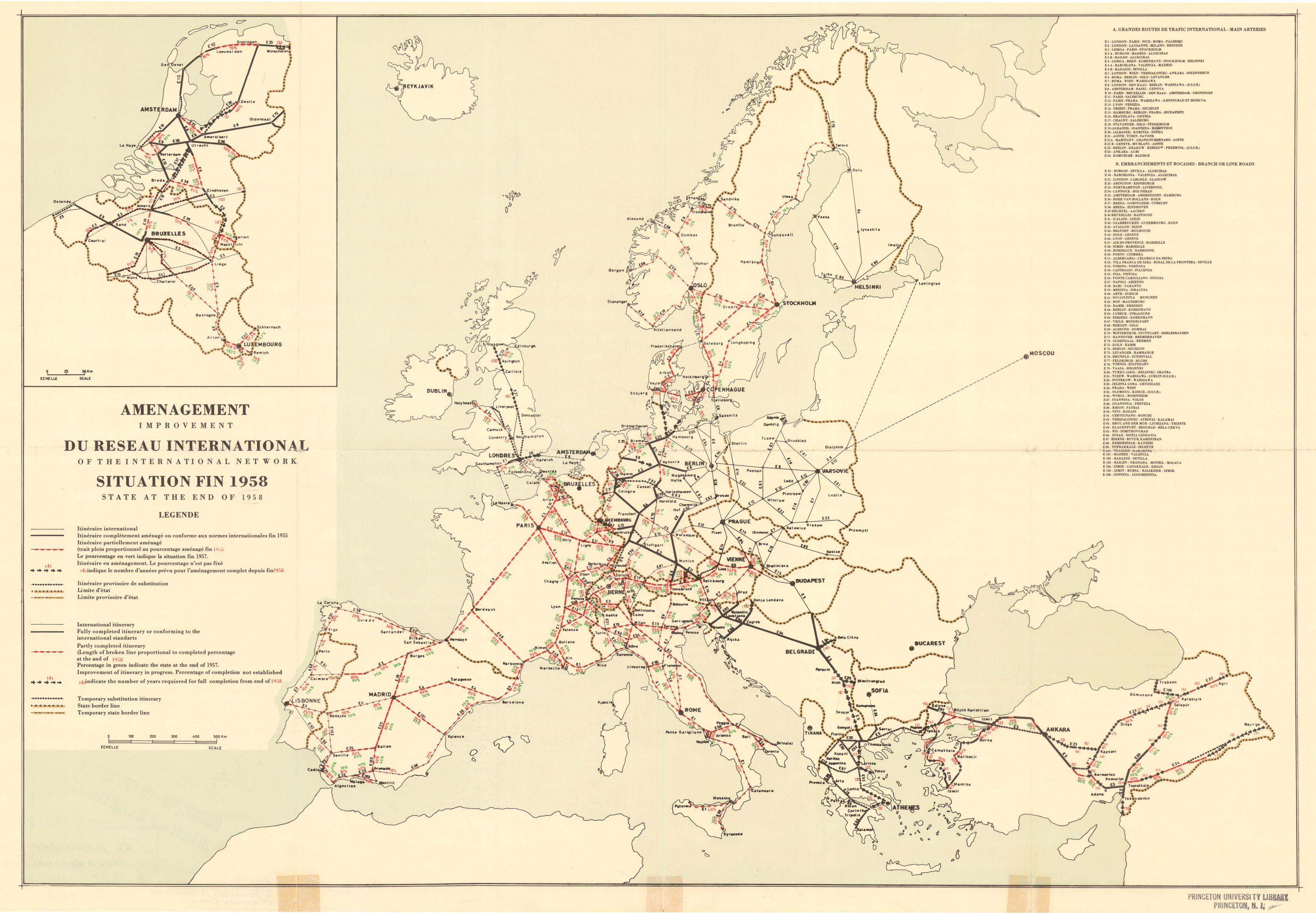
Map shows railroad routes in Europe. Lists of Main Arteries of International Traffic and Branch Roads are additionally provided. Map is laid out in Mercator’s projection.
c. 1958
Source
This map is Map Number 5951 in the collection of copyrighted maps of the Geosciences and Map Library, Fine Hall (B level), Princeton University..
Copyright
None asserted.