
Caption
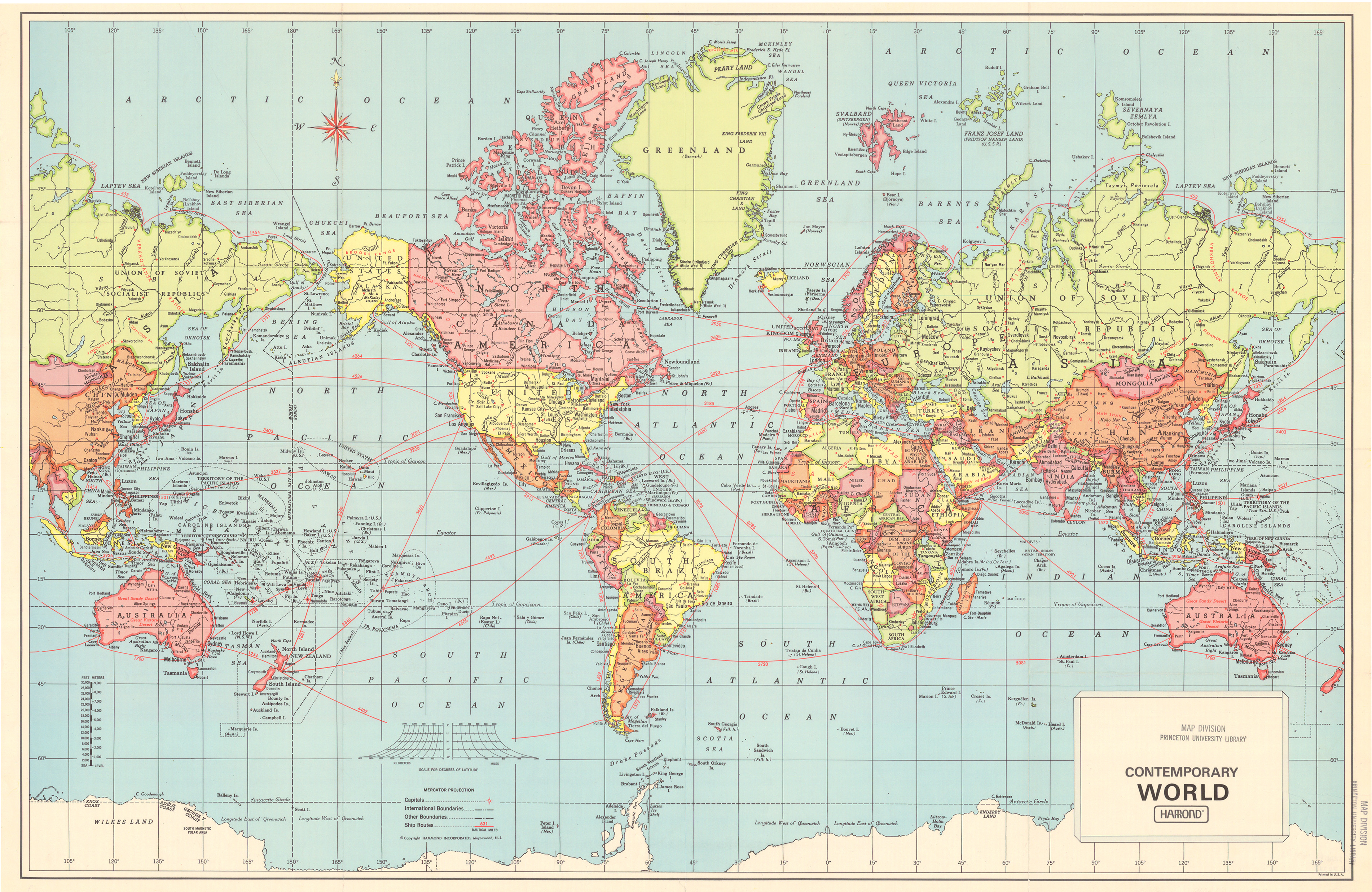
Contemporary World – Ship Routes
Summary
Undated map (c. 1962) shows Ship Routes worldwide in nautical miles. Capitals and international and other boundaries are distinguished. World map is laid out as Mercator’s projection.
Hammond Incorporated, Maplewood, N.J., U.S.A.
Source
This map is Map Number 5953 in the collection of copyrighted maps of the Geosciences and Map Library, Fine Hall (B level), Princeton University..
Copyright
Hammond Incorporated, Maplewood, N.J., U.S.A.