
Caption
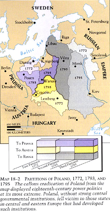
Partitions of Poland, 1772, 1793, and 1795
Summary
Map shows changes in Poland and the division of its lands during the 18th century.
Source
Donald Kagan et al. The Western Heritage Since 1300. (p. 618)
Prentice Hall [Pearson]
Copyright
© 2004 Prentice Hall [Pearson]