
Caption
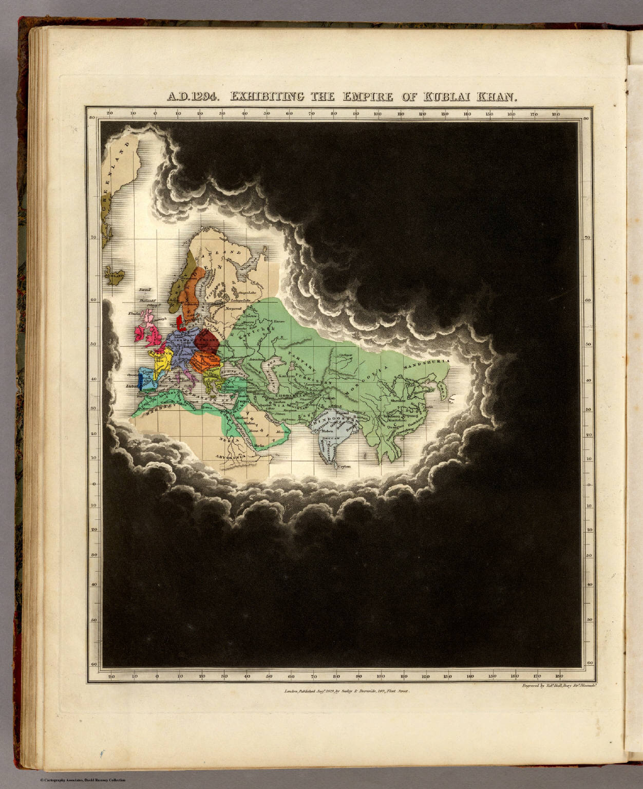
A.D. 1294. Exhibiting The Empire Of Kublai Khan.
Inscription
Engraved by Sidy. Hall Bury Strt. Bloomsby.
London, Published Augt. 1829, by Seeley & Burnside, 169, Fleet Street.
Summary
The map shows that the Empire of Kublai Khan extended across
most of Eurasia at the time of his death.
In addition to Eurasia, the map includes Greenland and North Africa, all within
dark swirling clouds suggesting the limits of the world known to the inhabitants
of the empire at the time.
The map was originally published in An Historical Atlas; In A Series Of Maps Of The World As Known At Different Periods, by Edward Quin.
Source
Edward Quin. An Historical Atlas. Printed For R.B.Seeley and W. Burnside, 1830.
The maps were engraved by Sidney Hall.
Cartography Associates, David Rumsey Collection, map 3916.
Copyright
“Digital images and descriptive data © 2000 by Cartography Associates.”
License
From [1]:
“Images may be reproduced or transmitted, but not for commercial use.
For commercial use or commercial republication, contact carto@luna-img.com.
“This work is licensed under a Creative Commons License. By downloading any images from this site, you agree to the terms of that license.”